QUIET LANES. PROPER CLIMBS.
Rolling road loops through West Dorset and towards the coast.
06 ROUTES READY →
ATLAS EXPLORE / BRIDPORT, DORSET
Walking, running and riding routes from our Bridport doorstep. Local adventures mapped on Komoot and ready to follow.
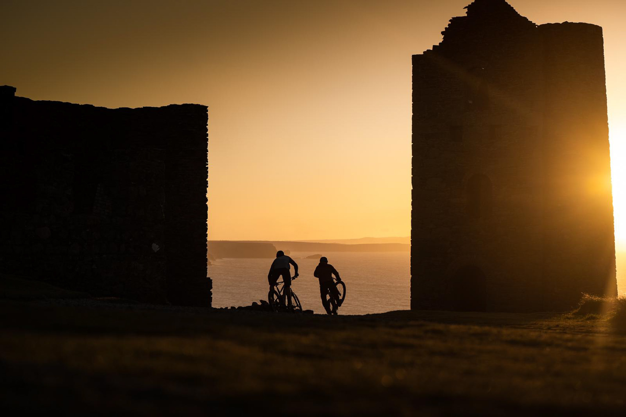
ADVENTURE STARTS HERE
We’re building a library of local routes for every kind of day out—from a quick run before work to a full day in the hills. Each route includes the essentials, a clear difficulty guide and a link to navigate or download the GPX.
FEATURED ROUTE / 001
MOUNTAIN BIKE / INTERMEDIATEA proper West Dorset loop from the centre of Bridport. Climb inland to Hardy Monument, drop towards Chesil Beach and head home via Hive Beach Café and the coast.
KEY WAYPOINTS
ROUTE AND TIMINGS VIA KOMOOT. CONDITIONS AND ACCESS CAN CHANGE—FOLLOW LOCAL SIGNS, RESPECT OTHER USERS AND RIDE WITHIN YOUR ABILITY.
THE ROUTE LIBRARY
Choose your way out, then pick one of 23 local routes below. Road cycling, gravel, mountain biking, hiking and running—all mapped and ready to download.
Rolling road loops through West Dorset and towards the coast.
06 ROUTES READY →Mixed-surface rides made for curiosity and capable bikes.
02 ROUTES READY →Technical trails, natural riding and all-day loops from Bridport.
06 ROUTES READY →Short strolls, big days out and the best views around Bridport.
06 ROUTES READY →Local loops for quick miles, hills and longer trail days.
03 ROUTES READY →ALL ROUTES / 23 DOWNLOADS
Check the distance, climbing and time, open it on Komoot or download the GPX straight to your device.
STARTBridport Bus Station
STARTKnightstone Rise
STARTThe Mound Short Stay Car Park
STARTFreshwater Caravan Park
STARTParking
STARTKings Head
STARTColfox School
STARTBridport Bus Station
STARTSprakes Corner
STARTTown Centre
STARTChideock Bridge
STARTThe George Inn
STARTEast Street Long Stay Car Park
START Chideock Bridge
LOCAL BIKE PARKS / DAY TRIPS FROM BRIDPORT
From Dorset uplift laps to a full day in South Wales, these are four mountain-bike destinations we rate. Check conditions and book before setting off.
Alpine-style downhill in the Dorset woods, with more than 400 feet of descending and Land Rover uplift. Best for intermediate and experienced riders who want maximum runs.
CHECK PARK & BOOK →Progressive bike-park trails on the Longleat Estate, mixing flow, jumps and technical lines. A strong day out for building confidence or chasing bigger features.
CHECK PARK & BOOK →A complete trail-centre day: family routes, Verderers and Freeminers, downhill tracks, e-MTB riding and live trail conditions. A great choice for mixed groups.
PLAN YOUR VISIT →A destination park with uplift and pedal options, graded trails, hire, coaching and beginner support. The big-day option when you want the widest choice.
CHECK PARK & BOOK →Drive times are approximate from central Bridport. Always check opening, trail conditions and ticket availability with each venue before travelling.
STARTParking
STARTThe George
STARTWest Bay Harbour
STARTThe George
START Town Centre
START Chideock Bridge
STARTAnchor Inn
STARTParking
STARTFreshwater Caravan Park
ROUTE DATA SOURCED FROM KOMOOT AND PROVIDED FOR PLANNING. ACCESS, WEATHER AND TRAIL CONDITIONS CAN CHANGE. FOLLOW LOCAL SIGNS, RESPECT OTHER USERS AND CARRY THE RIGHT KIT.
HOW IT WORKS
Check the distance, climbing, time and difficulty before heading out.
See the full map, surface information, elevation and latest route details.
Save the file or send the route to your phone, GPS computer or watch.
LOCAL KNOWLEDGE / NO GATEKEEPING
Routes are only part of the story. Drop into Atlas for kit advice, bike setup and the local detail a map can’t tell you.
VISIT ATLAS →HELP BUILD THE LIBRARY
Send us your favourite local loop or bring it into the shop. We’re always looking for new routes across road cycling, gravel, mountain biking, hiking and running.
SHARE A ROUTE →